Driving Ohio’s Scenic Byways
The Ohio Department of Transportation has identified 27 routes. Here are 16 that highlight history, nature and favorite attractions throughout the state.
BY Staff & Contributors | Photo by Aerial Agents
BY Staff & Contributors | Photo by Aerial Agents
The Ohio Department of Transportation’s Ohio Scenic Byways program charts hundreds of miles of great drives throughout the Buckeye State. The program features 27 routes that offer travelers a great way to see both landmark attractions and little-known corners of Ohio. Whether you want to cruise along the length of our state’s Lake Erie shore or traverse the rolling terrain of the Hocking Hills, there is a byway to charted for each. Other byways follow historic routes such as the National Road and the Lincoln Highway, offering the chance to trace the path that helped transform our nation. Still other routes provide the opportunity to explore rural portions of our state and the chance to take in the rich history and natural beauty found along each. You can learn about the Ohio Scenic Byways program by visiting the state’s ohiobyways.com. Here are 16 routes that offer a glimpse of all you can see along the way.
Drive the Lake Erie Shoreline
Lake Erie Coastal Ohio Trail
This route, which traces the Lake Erie shoreline across the northern edge of Ohio, covers 293 miles and passes through cities and towns that have been shaped by their proximity to our state’s greatest natural resource.
Those fascinated by our freshwater natural resource will want to visit the National Museum of the Great Lakes. Located on the western edge of the Lake Erie Coastal Ohio Trail in Toledo, the museum presents an all-encompassing view of the Great Lakes, from its natural history to the rise of industry.
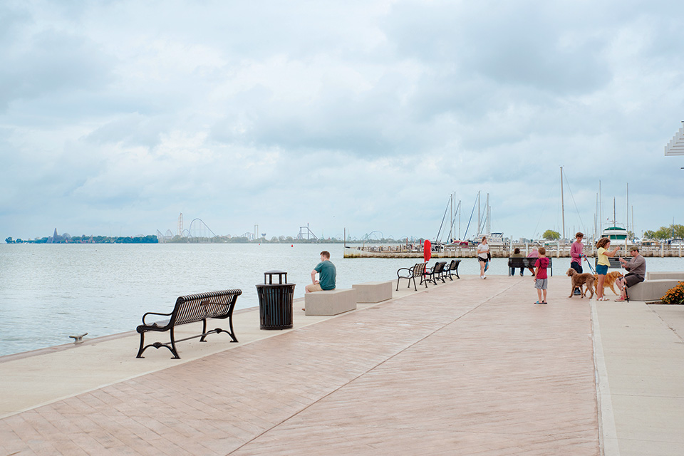
Farther east U.S. Route 6 is the city of Sandusky, long known as the home of Cedar Point amusement park. Downtown Sandusky has undergone a revival that has reconnected it to the lakefront and drawn new businesses that give the area a family-friendly, shore-town feel.
The construction of Jackson Street Pier may be the most visible example of this renewal, as local leaders turned a former parking lot into a waterfront recreation space for the public. The dock for the Jet Express boat line is located nearby, and the Sandusky Bay Pathway runs along the shore.
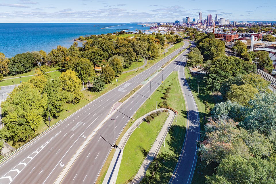
Those who think of Cleveland as heavy industry and harsh winter weather may be surprised to learn that the city has a beautiful sand beach just west of downtown. Edgewater Beach has long been a local favorite. Continue on to downtown Cleveland to visit the Rock & Roll Hall of Fame, which stands against the backdrop of Lake Erie at the end of East Ninth Street.
Follow Historic Routes Across Ohio
Historic National Road
Authorized in 1806 as the first interstate highway built entirely with federal funds, the National Road ultimately stretched from Cumberland, Maryland, to Vandalia, Illinois. By 1830, the Ohio portion had reached Zanesville, before extending to Columbus in 1833 and Springfield by the end of the decade. Most of the National Road was later incorporated into U.S. Route 40, and Ohio’s portion of the Historic National Road byway runs 225 miles.
The National Road & Zane Grey Museum in Norwich shares the story of the route’s evolution. The museum is also dedicated to acclaimed Western novelist Zane Grey, a Zanesville native. Along with an original Conestoga wagon, stagecoach, Model T and 1930 Peerless luxury car, the National Road portion of the museum houses a detailed, 135-foot-long diorama depicting the entire route.
Ohio’s portion of the National Road was also essential in connecting people with the state capital of Columbus. Built between 1839 and 1861, the Greek Revival style Ohio Statehouse is credited to five principal architects who worked on various elements of the building’s design over those years. Guided tours of the building are available daily.
After the National Road reached the western edge of Springfield in the late 1830s, disagreements over the path it should follow westward meant that this Clark County community sat at the endpoint of the route for over a decade. Today, most of the first floor of the Clark County Historical Society’s Heritage Center houses a National Road Gallery that traces the route’s impact on Springfield.
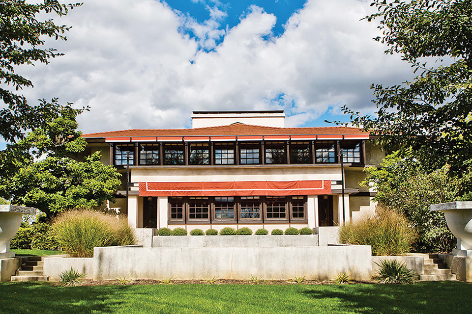
In Springfield, famed architect Frank Lloyd Wright’s Westcott House sits near the route. Built in 1908, the home went through a period of subdivision and neglect until a $5 million restoration returned the historic property to its former grandeur in 2005.
Lincoln Highway Historic Byway
Stretching from Times Square in New York City to Lincoln Park in San Francisco, the first transcontinental auto road contains a century of history. The plotting of the Lincoln Highway began in 1913, spurred by industrialists such as Goodyear Tire & Rubber Co. co-founder Frank Seiberling. Today, remnants of early road culture, such as old gas stations and concrete markers constructed in 1928 by the Boy Scouts of America, can be seen along the route, which passes through 12 states and covers 241 miles through Ohio, stretching from East Liverpool to Van Wert.
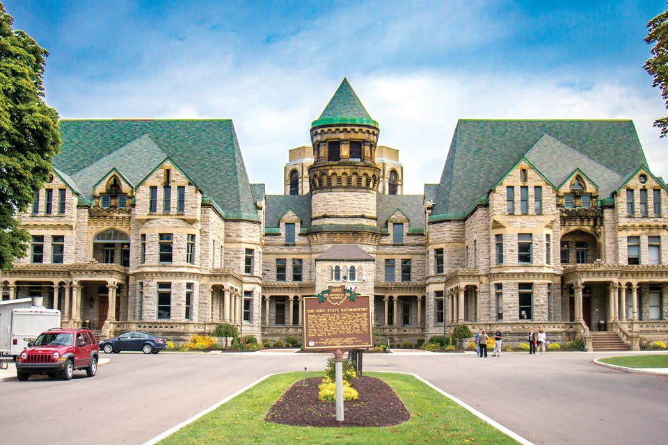
Along the way, stop in Mansfield to explore Kingwood Center Garden at the former estate of Charles Kelley King and his wife. Then, travel four miles down the road to check out the Ohio State Reformatory, a popular tourist stop that was immortalized in the 1994 film “The Shawshank Redemption” and is part of Ohio’s Shawshank Trail.
Other historic sites along the route include the Brownella Cottage in Galion, the former home of William Montgomery Brown, who published Communism and Christianism in 1920. It led the Episcopal clergyman to become the first bishop to be tried for heresy since the Reformation of the Christian church in the Middle Ages. Tour his home and visit the carriage house museum that tells his story.
Trace the Path of the Ohio & Erie Canal
Ohio & Erie Canalway
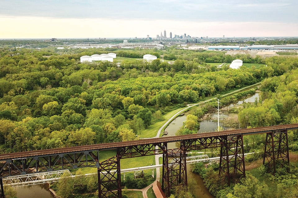
At the beginning of the 19th century, Ohio was rich in natural resources, but its landlocked nature kept it separated from eastern markets until the completion of the Ohio & Erie Canal in 1832 connected Lake Erie to the Ohio River. A drive along the 110-mile Ohio & Erie Canalway gives you insight into the portion of the canal that stretches from Cleveland to Tuscarawas County.
For those looking for a place to spread out a picnic blanket, head to Hart Crane Park, a pocket park along the northern end of the route in Cleveland. Kayakers and rowers frequently use the Cuyahoga River, which passes by the park, visitors frequently catch sight of freighters passing by.
Along the byway in Summit County, Hale Farm & Village in Bath serves as a living-history museum with a variety of original buildings. Re-enactors portraying daily activities allow visitors to experience life as it once was in this portion of Ohio, with demonstrations of trades, including candle-making. Discarded millstones lay scattered around Deep Lock Quarry Metro Park in Peninsula — home to three trails, as well as the deepest lock of the Ohio & Erie Canal. Akron’s American Cereal Works, later known as Quaker Oats, produced millstones with sandstone found in the quarry.
Football runs deep in northeast Ohio culture. The southern half of the byway takes travelers near the Pro Football Hall of Fame in Canton and the town of Massillon, where legendary NFL coach Paul Brown first made his name at the helm of the Massillon Tigers high school football team. The Massillon Museum downtown has an exhibit dedicated to Brown’s legacy.
Explore History in Central Ohio
Granville Scenic Byway
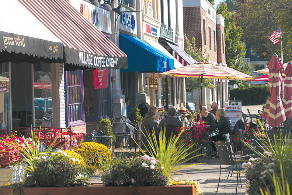
This 10-mile route through central Ohio traverses rolling hills and passes by farms and historic cemeteries in Licking County. The snapshot of days gone by is made possible in part by a 1-mill local levy that earmarks funds for protecting green spaces and farmland in the area.
The state of Ohio approved the Granville Scenic Byway in 2016, and the new route aids the Granville Historical Society in telling the story of the area. Sitting at the heart of the byway is the village of Granville, which was settled in 1805.
With many original buildings from the 1800s still standing today, the village of Granville is the centerpiece of the byway. The Buxton Inn first opened there in 1812, and it served as Granville’s first post office, as well as a stagecoach stop between Columbus and Newark. It has a special history of being visited by Presidents Abraham Lincoln, William Henry Harrison and William McKinley.
Granville still reflects the influences of the Massachusetts settlers who first tamed this then-heavily-forested part of central Ohio, and the development that followed when transportation systems such as the National Road and the Ohio & Erie Canal bypassed the town, bringing a focus on education and the founding of what is today Denison University.
Founded as the Granville Literary and Theological Institution, Denison University dates back to 1831 and is one of the earliest colleges in the area west of the Allegheny Mountains and north of the Ohio River once known as the Northwest Territory.
Olentangy Heritage Corridor
Stretching just 10.5 miles, the Olentangy Heritage Corridor follows the ancient Native American trails along the Olentangy River. As the area became populated with farms and sawmills, the natural scenery diminished until the Columbus and Franklin County Metro Parks stepped in. For decades, forest restoration efforts have turned it once again into a scenic natural area. Commissioned as the first road in Delaware County, this byway showcases the region’s landscape and archaeological finds as well as its rural character.
An ancient river eroded the limestone rock to form the winding passages and expansive rooms of the Olentangy Caverns. Artifacts have been found in the cave, which is located in Delaware, indicating it was a place where Native Americans made arrowheads and other stone tools. Cool off in the underground passages or try your hand mining for gems and other small treasures above ground.
The 100-foot-tall shale bluff that towers over the Olentangy River lends Highbanks Metro Park its name, but streams have carved a number of deep ravines here as well. Hike the overlook trail to reach the observation deck, or take a leisurely stroll through fields on Big Meadows Path.
Visit Caves in the Hocking Hills
Hocking Hills Scenic Byway
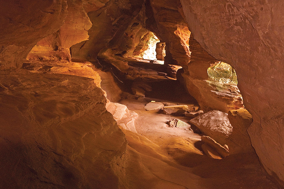
Covering 26.4 miles, the Hocking Hills Scenic Byway follows parts of state Routes 374, 664 and 56. It passes the six sites that make up Hocking Hills State Park as well as historically significant locations. There is a lot to explore, but for travelers looking to hit some of the natural highlights over the course of an afternoon drive, these three spots are a good place to start.
The Rock House offers the chance to step inside the region’s only true cave that is accessible to the public (others in the park are recess caves). A pathway leads to large, window-like openings in a cliff of black hand sandstone that invite visitors to step inside and explore the tunnel-like space. The darkness of the cave contrasted with the natural light spilling in through the large openings makes for dramatic photographs.
The most well-known destination within Hocking Hills State Park is Old Man’s Cave. It offers not only the dramatic recess cave that gives the place its name, but also trails that descend into and along the top of the gorge. Hikers can see natural features such as the swirling Devil’s Bathtub and take in views of the waterfalls at each end of the gorge. (The Hocking Hills Visitor Center at Old Man’s Cave opened in 2019.)
Cap off a day trip through the Hocking Hills with a visit to Ash Cave, a recess cave with a 700-foot, horseshoe-shaped rim that sits at the end of a short and flat trail.
Explore Nature and Ohio Heritage
Welsh Scenic Byway
Spanning historic chapels, cemeteries and iron furnaces, this 64-mile southeast Ohio byway through Gallia and Jackson counties connects elements of Welsh culture that still dot the region today. The Welsh settled here and developed the countryside, and one of the reasons they stayed in the area was because the topography of the land looks a lot like it does in the area of Wales from which they moved.
Passing through the region, this scenic byway also takes visitors past pastoral farms and wildlife areas such as Cooper Hollow, the Ohio River and Raccoon Creek, the latter being a spot where frontiersman Daniel Boone is said to have hunted and trapped.
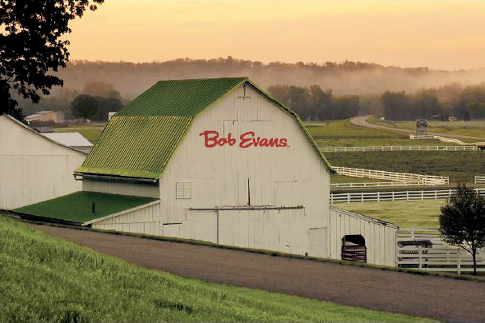
Another notable stop is the Bob Evans Farm. Long before his name became synonymous with sausage gravy and biscuits, Evans and his family lived here and the annual Bob Evans Farm Festival each autumn celebrates this bit of local history. A Bob Evans Restaurant located on farm property is open year-round.
Considered to be the Mother of Welsh Churches, the Moriah Presbyterian Church in Oak Hill was founded in 1835, and services are still held each Sunday. Located in a former Welsh church founded in 1841, the Welsh-American Heritage Museum on the campus of the University of Rio Grande is filled with rare items representing Wales and Welsh-American culture. The collection ranges from books and newspaper articles to photos and artifacts. When it opened in 1972, it was the only Welsh museum in the United States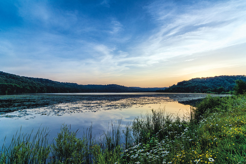
Tappan-Moravian Trail
This 55-mile, eastern Ohio byway runs through the Appalachian foothills of Harrison County, passing by lakes, lush green hills and farm fields, but the route has a long history that stretches back to the Native Americans who called the area home.
The Tappan-Moravian Trail passes through an area full of historic churches, log cabins and cemeteries as well as the Conotton Creek Trail — a former rail line that runs 11 miles between the Harrison County communities of Jewett and Bowerston and draws travelers who want to hike or ride their bikes.
With 7 miles worth of lake views, this byway provides access to plenty of on-the-water fun. Tappan Lake offers cabins, camping, hiking, fishing, boating and a public park with a swimming beach. The lake is surrounded by hiking trails and offers a connection to the more than 1,400-mile Buckeye Trail, which touches all four corners of the state. The byway also passes by Clendening Lake, which is known for great fishing.
The tiny town of New Rumley along state Route 646 is where George Custer was born on Dec. 5, 1839. A cavalry commander for Union forces during the Civil War, he gained national notoriety for his efforts to open the American West — a campaign that ended with Custer’s last stand at the Battle of the Little Bighorn in June of 1876, where he died along with more than 250 other soldiers while fighting several thousand Lakota and Cheyenne warriors. A bronze statue of Custer stands on his birth site along with a pavilion exhibit that recounts details of the Civil War general’s life.
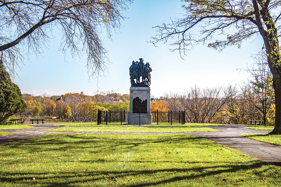
Maumee Valley Scenic Byway
Running northeast of Defiance through Perrysburg and Maumee up to the southern edge of Toledo, the Maumee Valley Scenic Byway covers nearly 90 miles on state Route 424/295 (also known as old U.S. Highway 24) and state Route 65, following the path of the Maumee River and telling the story of the region’s history and its role during the War of 1812.
Begin in Defiance at Independence Dam State Park, which offers views of the Maumee River and opportunities for on-the-water recreation, such as boating, water-skiing, canoeing and kayaking. Along the north shore, travelers can hike 3 miles through history on the Miami & Erie Canal Towpath.
The driving route continues into Grand Rapids, a classic Ohio canal town that offers canal boat rides, restaurants, shops and more. Continue to Fort Meigs in Perrysburg to view a reconstruction of the American army’s fortification against British troops during the War of 1812. Visitors can tour the fort and grounds April 1 through Oct. 31 and visit an on-site museum year-round.
Cross over the river to visit the site of Fort Miamis, which also played a role during the war. This historic site is home to remnants of the fort as well as a monument to the Battle of Fallen Timbers.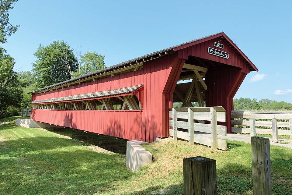
Big Darby Plains Scenic Byway
Travelers along the 27-mile main route of this scenic byway that runs through Milford Center, Unionville Center and Plain City, can enjoy the serenity of Big Darby Creek as it flows through Union County to the Scioto River. Along the way, travelers will see six covered bridges, including the Bigelow, Culbertson and Buck Run bridges.
Get out of the car and stretch your legs at the historic Pottersburg Bridge, a scenic footbridge that leads to a 3.5-mile walking trail with views of the central Ohio countryside. From June through October, the Pottersburg Bridge hosts Dine on a Covered Bridge. These five lunch or dinner events feature live music and locally sourced food as part of the experience.
Wind your way into Milford Center, once the Union County seat and now home to a replica of the first county courthouse. In the village of Plain City, the Plain City Clock Tower stands as one of the last two public timepieces of its kind crafted by renowned 19th-century clockmaker Seth Thomas. Stop along the route for a look at theOld Indian Trail historic marker. The area is home to trails blazed by Shawnee leader Tecumseh and were later used as part of the route of the Pony Express.
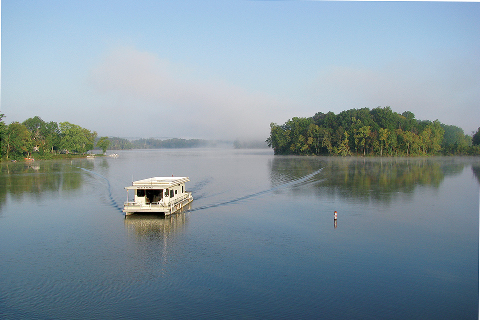
Johnny Appleseed Historic Byway
In Richland and Ashland counties, travelers can follow the journey of John Chapman — better known as Johnny Appleseed — who spent time in the area during the early 19th century. Spanning 30 miles of state Routes 39, 430 and 603, the byway connects Mansfield, Loudonville and Mifflin, while celebrating Ohio heritage (and apples) at stops like the Johnny Appleseed Forestin Mansfield and Mowery Cider Mill in Loudonville.
Malabar Farm State Park off state Route 39 in Lucas offers sunset views from the top of Mount Jeez, as well as the opportunity to tour the home of Pulitzer Prize-winning author Louis Bromfield and dine at Malabar Farm Restaurant.
Nearly 12 miles north, on state Route 603, Charles Mill Lake Park offers camping along the water. Pontoon boaters, kayakers and fisherman alike enjoy the calm waters of this 1,350-surface-acre lake that is part of the Muskingum Watershed Conservancy District. The park has nearly 500 campsites available, from primitive spots to RV hookups, and plenty of onshore recreation to enjoy, including disc golf, a swimming pool and a bocce ball court.
Tour Ohio’s Appalachia Region
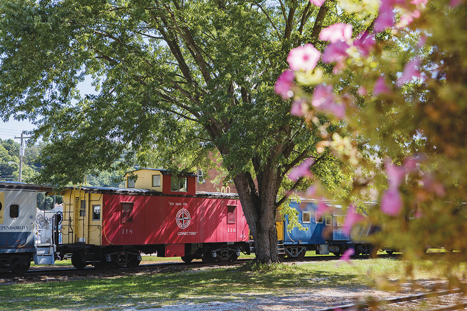
Appalachian Byway
Located along the foothills of the Appalachian Mountains, this 120-mile corridor follows state Route 78 from Clarington in Monroe County, crossing through Noble, Morgan and Athens counties to Nelsonville. It also includes a short leg north on state Route 284 to The Wilds in Guernsey County.
Many attractions along the way, including Big Muskie’s Bucket at Miner’s Memorial Park in McConnelsville, symbolize southeast Ohio’s history as an energy corridor. The byway connects with the Ohio River Scenic Byway in Clarington at state Route 7.
The Hocking Valley Scenic Railway in Nelsonville dates back to 1864, when Mineral Railroad was established to transport salt, coal and passengers from Athens to Columbus. Today’s travelers are welcomed aboard to learn about historic points of interest and enjoy events such as dinner trips and fall foliage excursions.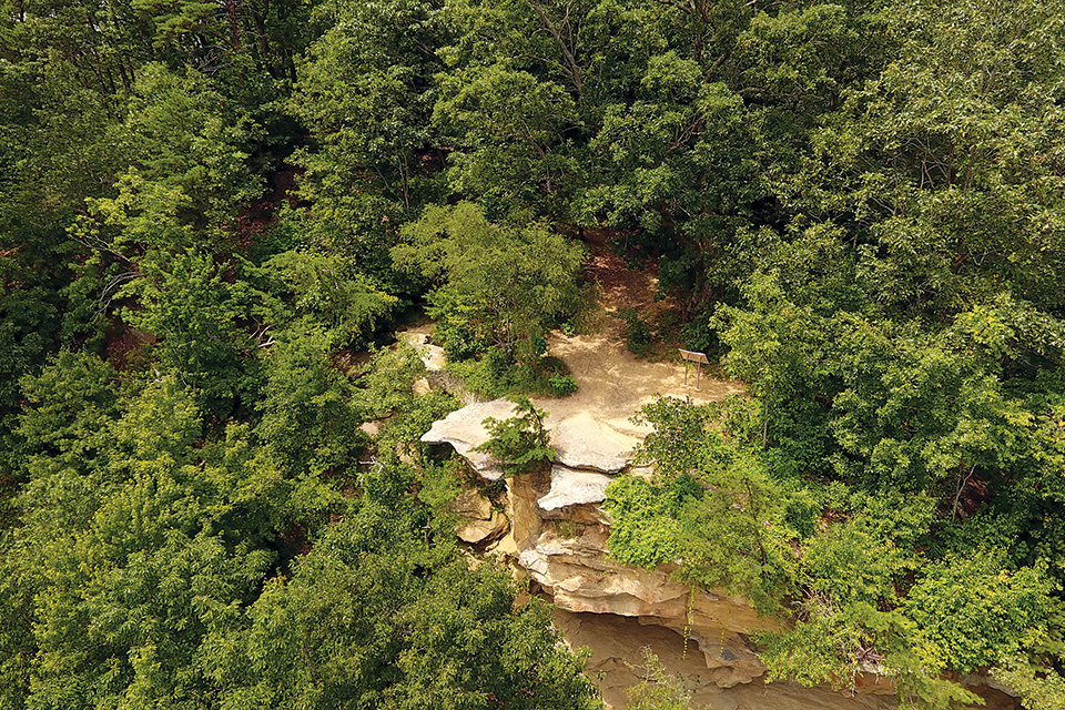
Scioto Heritage Trail
Starting in the river town of Portsmouth, the Scioto Heritage Trail scenic byway winds over 80 miles, much of it within the bounds of Shawnee State Forest. The trail was founded in 2007, inspired by a vacation to the Great Smoky Mountains in Tennessee.
According to folklore, the Shawnee tribe used Raven Rock in what is now West Portsmouth as a lookout over the Ohio River valley. Today, the rock still offers a panoramic view of the valley below, and three natural arches — the largest spanning 10-feet-wide — have formed through the weathering of the sandstone.
Following township and county roads, the byway continues through the most scenic parts of what is often referred to as “Ohio’s Little Smokies” and into Shawnee State Park, where travelers can book a room in the lodge or rent a cabin. Activities here range from boating to mountain biking to horseback riding, and hiking trails within the state park and forest extend for 60 miles.
Other favorite spots along the Scioto Heritage Trail include the newly restored Otway Covered Bridge to preserved locks along the Ohio & Erie Canal, where, at Lock 50, the Union Mills Confectionery sells homemade sweets to hungry travelers.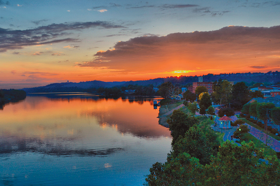
Ohio River Scenic Byway
Meandering along the banks of the Ohio River, this byway runs 452 miles through Ohio, from the Pennsylvania border in East Liverpool to the Indiana border near Cincinnati, traveling through 14 counties. (It continues into Indiana and Illinois, and the route is one of 150 National Scenic Byways.)
Travelers interested in Revolutionary War history will want to visit Marietta’s Mound Cemetery in the southeastern portion of the state. Nature lovers flock to Wayne National Forest and Ohio River Islands National Wildlife Refuge.
In Clermont County, history buffs can tour the small, one-story home where Civil War general and President Ulysses S. Grant was born in 1822. About 25 miles down the road in Georgetown, Grant’s boyhood home and the schoolhouse he attended are also open to visitors. Ohio’s connection to the Civil War draws many tourists to the southwest Ohio town of Ripley, an early stop on the Underground Railroad and the location of the John Rankin House.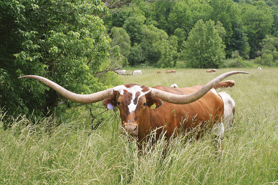
Drovers’ Trail Scenic Byway
Southeast Ohio heritage runs deep on this 37-mile route through Belmont County. Named for the days when drovers would bring their livestock to market along the path, the byway follows state Routes 800 and 147 from Bellaire to Hendrysburg while also connecting with the Historic National Road and Ohio River Scenic Byways.
Start the journey in Bellaire at the Great Stone Viaduct, an impressive structure that offers views of the Ohio River. Also in town is the National Imperial Glass Museum features pieces of fine glassware from the now-defunct Imperial Glass Co.
Stop and spend some time in nature at Barkcamp State Park in Belmont. Go for a hike, take a dip in Belmont Lake or bring the family for a night of camping.
Step into the past in downtown Barnesville at the Belmont County Victorian Mansion Museum, a 26-room home that shares what life was like for those who lived here in the 19th century. Antique hunters will enjoy the Barnesville Antique Mall with its three floors of secondhand treasures.
Be sure to stop at Dickinson Cattle Co.’s Texas longhorn ranch and then head over to Hendrysburg, the hometown of William Boyd — the actor who brought classic Western hero Hopalong Cassidy to life.
For more information about these and other Ohio Scenic Byways, visit ohiobyways.com.
Related Articles
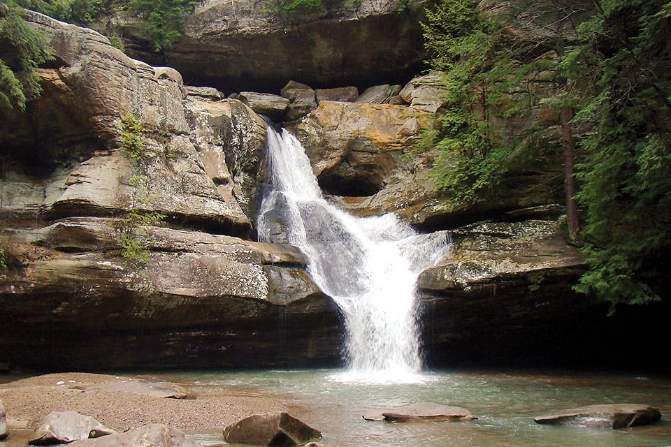
Drive the Hocking Hills Scenic Byway
This drive covers more than 26 miles as it twists and turns through the region and past some of our state’s most popular natural landmarks. READ MORE >>
Ohio’s Shawshank Trail
In 1993, “The Shawshank Redemption” was filmed at the Ohio State Reformatory and more than a dozen other nearby sites. We followed in the footsteps of Andy and Red. Here’s how you can, too. READ MORE >>
Great Fall Drives
Our guide to more than 170 miles of autumn color — plus where to stop and explore along the way READ MORE >>


